
what we do
Throughout the Schuylkill Highlands, we are working together to drive strategic investment and actions around sustainability, conservation, revitalization, and recreational projects.
About the Schuylkill Highlands Conservation Landscape
The Schuylkill Highlands Conservation Landscape (SHCL) is at the nexus of two geographic features, the Pennsylvania Highlands, and the Schuylkill River watershed. The work in the Schuylkill Highlands centers around land and water conservation, compatible economic development, outdoor recreation and how we use the landscape. In this populated, growing, and complex regional area we work with partners to connect assets in this region set for considerable growth.
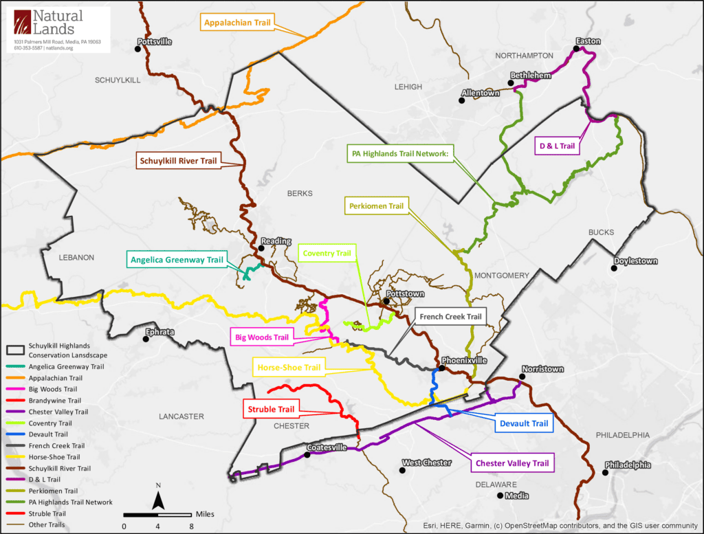
Three plans and newer initiatives guide our work and include: the Schuylkill Highlands Regional Trail Map of the Schuylkill River Trail and the regional interconnected trail network in the Schuylkill Highlands; the Compatible Economic Development Plan for the Middle Schuylkill; and the Schuylkill Highlands Greenway including a myriad of actions defined for a connected greenbelt from the Hopewell Big Woods to Greater Reading and northeast across the Oley Valley into the Unami forest area , and other high priority natural resource areas in the SHCL. Newer initiatives include stream buffering, and climate resiliency.
Goals
Our goals guide our actions.
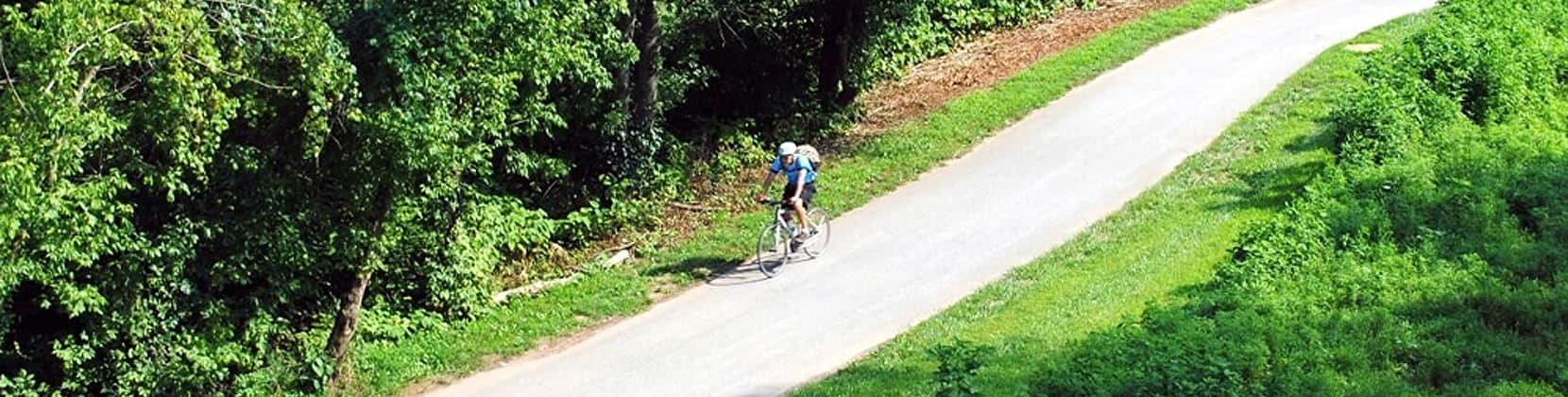
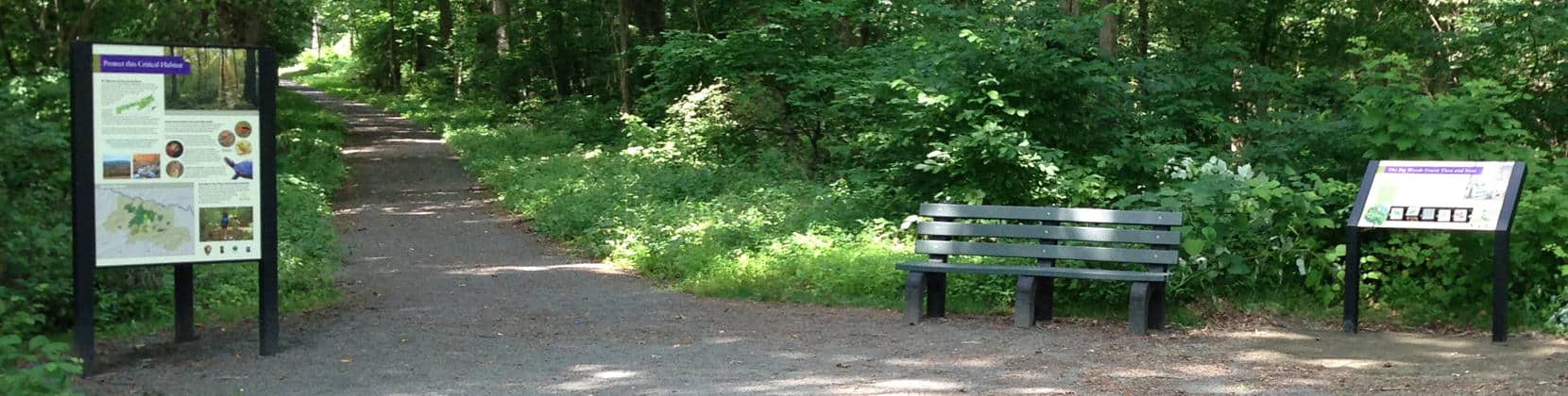
Connect Residents and Visitors to the Outdoors
Key stakeholders are leading efforts to advance the interconnected regional trail network throughout the landscape. Schuylkill River Greenways is working to complete the Schuylkill River Trail. Other partners advancing the AngelicaGreenway Trail, Perkiomen Trail, PA Highlands Trail, Brandywine Greenway, Struble Trail, Big Woods Trail, Horse-Shoe Trail, Devault Trail, French Creek Trail, and Chester Valley Trail.
This goal also prioritizes outdoor recreation opportunities and connects residents and visitors to the wonderful natural, cultural, and recreational resources. Success in linking trails in this landscape has been an exercise in collaboration with numerous SHCL partners.
Additional Resources

Encourage Sustainable and Compatible Economic Development
The wealth of the Middle Schuylkill region from Valley Forge National Historical Park to the Greater Reading area holds great potential with the natural, recreational, historical, and cultural resources it holds to be the basis for the targeted development of a tourist /visitor industry. These resources are not only rich but concentrated, overlapping, and plentiful. The Schuylkill Highlands undertook the plan through funding support from the PA Department of Conservation and Natural Resources, the PA Department of Community and Economic Development, and the William Penn Foundation. Project work has illustrated the solid economic base for place-based tourism and ways local communities in the region can and have directly benefited by encouraging compatible economic development that supports place-based tourism in the Middle Schuylkill.
This study illustrates the solid economic base for place-based tourism that already exists and how local communities in the region can directly benefit by encouraging compatible economic development that supports place-based tourism.
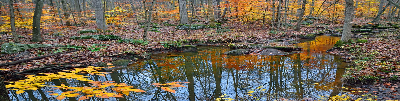
Conserve, Protect, Restore, and Steward Resources
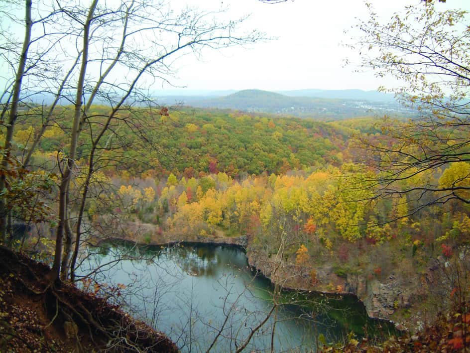
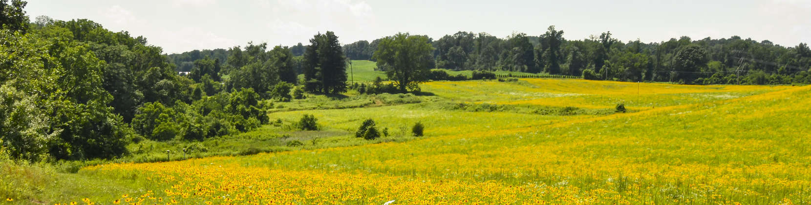
A top priority for the partnership is land and water conservation, and especially protecting lands which add to public and protected lands. Situated at the intersection of the Federally -designated Highlands Region and the Schuylkill River Watershed, the Schuylkill Highlands supports a remarkable amount of natural diversity, given its proximity to a major East Coast metropolitan area, the Schuylkill Highlands connects the regions residents to nature and serves as a vital habitat for plants and animals not usually found in such proximity to a metropolitan area.
Looking at the area from above, the Schuylkill Highlands supports an extensive greenbelt stretching in a broad arc from the Unami Forest in the northeast to the Hopewell Big Woods in the southwest. This arc consists of forests and grasslands supporting four “important bird areas” (designated by Audubon Pennsylvania), many rare plants and animals, watersheds designated as pristine by the Pennsylvania Department of Environmental Protection. The area provides drinking water to 1.75 million residents of Philadelphia and the surrounding metropolitan area.
A Path Forward – The Schuylkill Highlands Greenway Plan outlines how to establish the greenway in a sustainable manner that conserves the best natural and agricultural area, promotes history, provides recreation, and enhances the economy and quality of life for residents.
Additional Resources
Promote the Schuylkill Highlands Conservation Landscape
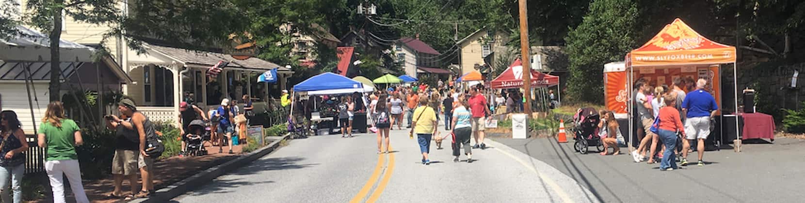
We convene meetings to share, learn and track our project work throughout the landscape. We host speaker events, festivals, project celebrations, driving tours, education programs, nature-based walks and talks, historic tours, Placemaking events, and promote programs that advance our overall mission and goals.

Leverage Funding and Action to Accelerate Project Work
The Schuylkill Highlands manages a Mini-Grant Program to support partners advancing the program’s goals once per year. In addition, PA DCNR, foundations, municipalities, nonprofits, and volunteers all make this great work in the landscape happen and create our overall phenomenal deliverables to date.